Drone-based topographic surveys have revolutionized how large land areas are mapped. Using drones, we can collect surface data quickly and cover inaccessible regions with ease. These surveys also offer better visualization through 3D models and orthophotos, which helps clients and engineers understand the site better. At RVS Land Surveyors, Coimbatore, our drone surveys deliver fast, cost-effective, and highly accurate results — ideal for today’s fast-paced construction and planning requirements.
Site Analysis & Research
Before we begin any survey, we study existing land records, GIS data, and any previous survey reports. This helps us understand the scope of the land, previous developments, and any critical features that must be mapped. We also verify elevation benchmarks or geodetic control points in the area.
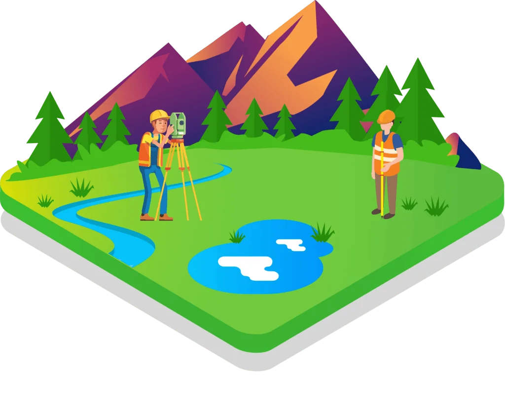
On-Site Fieldwork
Our expert team visits the site and starts by identifying key natural and man-made features — including terrain contours, slopes, trees, buildings, utility lines, drainage paths, and any irregularities in land elevation. Using Total Stations, GPS, and Drone-based LiDAR (for large areas), we collect thousands of precise ground points to represent every change in elevation and topographic feature.
Data Processing & Elevation Calculations
Once field data is collected, our survey engineers process it using advanced software like AutoCAD Civil 3D and GIS mapping tools. We calculate accurate elevation differences, slope gradients, and terrain profiles. This data is crucial for project planning, design layout, and earthwork estimation.
Topographic Map Preparation
A detailed topographic map is generated, showcasing:
* Contour lines
* Elevation points
* Natural features like rivers, hills, and vegetation
* Man-made structures like roads, drains, buildings, and utility paths
Map Review & Validation
Our licensed and experienced surveyors validate all data points and maps to ensure consistency, accuracy, and clarity. We also cross-check survey data with on-site visuals and client requirements. This ensures the map is reliable for engineers, architects, and government bodies.